Browse Items(246 total)

  • Tags: Roads and Streets
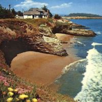
v1-116.jpg
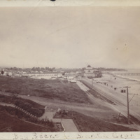
View from West Cliff Drive in Santa Cruz, CA, showing Mesembryanthemums (ice plant) in bloom.

Date: Undated
Type: POSTCARD

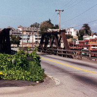
http://history.santacruzpl.org/omeka/uploads/wd/WD-024.jpg
The West Cliff bridge was built in 1918 by the Southern Pacific Railroad over its tracks near Washington and Beach Streets. The wooden bridge is 62 feet long and was constructed using the 1840 truss design patented by William Howe.

Date: 1992
Type: PHOTO

Map 044 (1).jpg
SCPL's collection of maps is available in the Local History Room at the Downtown Branch

Date: 2007
Type: MAP

Map 034 (1).jpg
SCPL's collection of maps is available in the Local History Room at the Downtown Branch

Date: 1980
Type: MAP

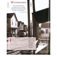
watermarks.pdf

Date: 2010-Spring
Source: Santa Cruz Magazine, v5n1, p 60-63.
Type: ARTICLE

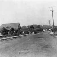
http://history.santacruzpl.org/omeka/uploads/wd/WD-018.jpg
Washburn Street between Market and May before it was paved.

Date: 1949-05-01
Type: PHOTO

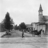
http://history.santacruzpl.org/omeka/uploads/0000/0339.jpg
Walnut Avenue near Pacific. The Unity Church, connected with the Unitarian denomination, is on the right. The church was built by the Grover family in 1868. After the Unitarian church was dissolved, various groups used the building for meetings and…

Date: ca. 1870's
Type: PHOTO

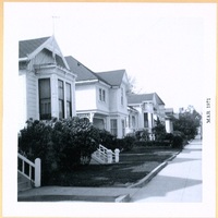
HG-ef-051p.jpg
Street views of Walnut Avenue, looking at the south side between Cedar Street and Chestnut Street

Date: 1971-03
Source: "Historic Santa Cruz Homes," scrapbook compiled by Edith Fikes
Type: PHOTO

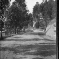
Santa Cruz 004.jpg

Date: circa 1906
Source: Bartholomew, Bart
Type: PHOTO

SS-hoefero-07.jpg
View of Beach Boardwalk

Date: 1904
Source: Hoefer, Ollie
Type: PHOTO

Output Formats

atom, dcmes-xml, json, omeka-json, omeka-xml, rss2