Browse Items(116 total)
- Tags: Panoramas and Aerial Views
Sort by:
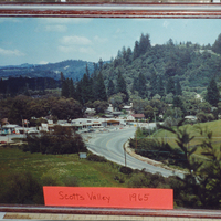
Camp Evers Shopping Center at Mount Hermon Road and Scotts Valley Drive.
Date: 1965
Source: Scotts Valley Historical Society
Type: PHOTO
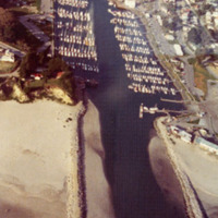
The Santa Cruz Yacht Harbor, showing the entrance to the marina.
Date: 1973
Type: PHOTO
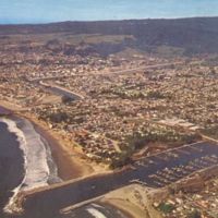
"Air view of the Santa Cruz Small Craft Harbor showing the City of Santa Cruz in the background where the University of California at Santa Cruz is located."
Date: 1976
Type: POSTCARD
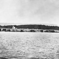
The Santa Cruz lighthouse as seen from the ocean.
Date: Early 1880's
Type: PHOTO
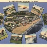
Date: Undated
Type: POSTCARD
From the back: This beautiful resort city on the north shore of Monterey Bay with the Santa Cruz Mountains forming the background is known as "California's Favorite Play Land."
Date: Undated
Source: Sally Coen Heumann; donated by Jules Heumann
Type: POSTCARD
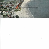
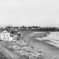
The Santa Cruz city beach. The sign on the first building along the tracks reads simply, "Restaurant."
Date: Winter 1885
Type: PHOTO
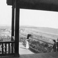
View of Santa Cruz beach area (where the Boardwalk would be) from the Sea Beach Hotel.
Date: ca. 1880's
Type: PHOTO

