Browse Items(116 total)

  • Tags: Panoramas and Aerial Views
http://history.santacruzpl.org/omeka/uploads/scm/SCM037.jpg
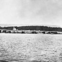
The Santa Cruz lighthouse as seen from the ocean.

Date: Early 1880's
Type: PHOTO

http://history.santacruzpl.org/omeka/uploads/scm/SCM019.jpg
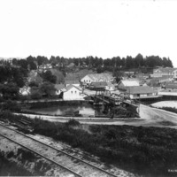
View of Capitola. In the distance to the right is the Capitola Hotel. A little below it, to the right, is a building with a sign identifying it as a "Bath House."

Date: ca. 1910--1915
Type: PHOTO

http://history.santacruzpl.org/omeka/uploads/scm/SCM011.jpg
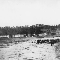
View of early Capitola, with group of people on the beach.

Date: 1880's
Type: PHOTO

http://history.santacruzpl.org/omeka/uploads/misc/ao01.jpg
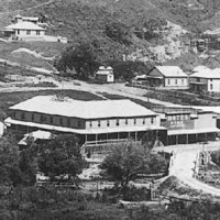
Davenport in 1910. The road in the middle of the photo was the main coastal road, which ran right through Davenport. Davenport was originally called San Vicente, a company town built and owned by Coast Dairies and Land Company. The large building…

Date: 1910
Type: PHOTO

http://history.santacruzpl.org/omeka/uploads/0000/0544.jpg
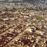
Aerial view of Santa Cruz. The large white building in the center, slightly to the upper right, is Branciforte Elementary School. The street running left to right, through the middle, is Soquel Avenue.

Date: 1973
Type: PHOTO

http://history.santacruzpl.org/omeka/uploads/0000/0543.jpg
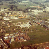
Aerial view of Capitola and Soquel. Slightly above center to the right is the 41st Avenue and Highway 1 intersection. The land above the highway is Soquel and below it is Capitola. The large green area and adjacent buildings is the Brown Bulb Ranch.…

Date: 1973
Type: PHOTO

http://history.santacruzpl.org/omeka/uploads/0000/0542.jpg
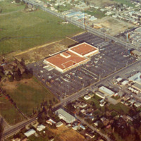
Aerial view of Capitola showing the intersection of 41st Avenue and Capitola Road. The large building in the center is Sears and the small building in the corner of the parking lot is a branch of Bank of America.

Date: 1973
Type: PHOTO

http://history.santacruzpl.org/omeka/uploads/0000/0541.jpg
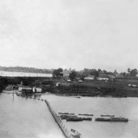
Woods Lagoon (or Schwan Lake ?), looking towards Santa Cruz.

Date: Undated
Type: PHOTO

http://history.santacruzpl.org/omeka/uploads/0000/0501.jpg
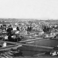
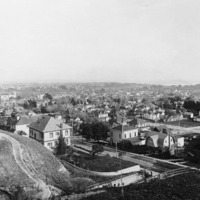
Panoramic view of Santa Cruz, taken from High Street. The three-story building on the far left is the Mission Hill school. The building with the steeple just to the left of middle is the Methodist church. Also visible are the San Lorenzo River, the…

Date: Prior to 1906 (when the third story of the school was removed)
Type: PHOTO

http://history.santacruzpl.org/omeka/uploads/0000/0500.jpg
Panoramic view of Santa Cruz, taken from High Street.

Date: Undated
Type: PHOTO

Output Formats

atom, dcmes-xml, json, omeka-json, omeka-xml, rss2