Browse Items(116 total)
- Tags: Panoramas and Aerial Views
Sort by:
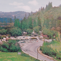
Early photograph of Scotts Valley at Mount Hermon Road
Date: 1960
Source: Scotts Valley Historical Society
Type: PHOTO
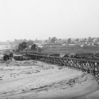
Taken from the east bank of the San Lorenzo River. View is where the Boardwalk and Beach Flats are today. ca. 1890's
Date: 1890's
Type: PHOTO
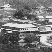
Davenport in 1910. The road in the middle of the photo was the main coastal road, which ran right through Davenport. Davenport was originally called San Vicente, a company town built and owned by Coast Dairies and Land Company. The large building…
Date: 1910
Type: PHOTO
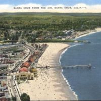
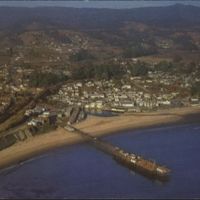
From Back: "This beautiful resort city on the north shore of Monterey Bay with the Santa Cruz Mountains forming the background is known as 'California's Favorite Play Land'."
Date: Undated
Type: POSTCARD
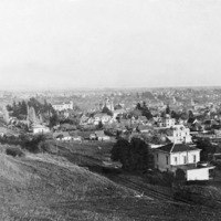
View of the city of Santa Cruz. Holy Cross Church is to the left.
Date: ca. 1900
Type: PHOTO
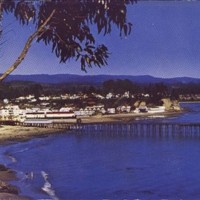
A view of Capitola, with the Esplanade in the foreground. In the background near the wharf is the Venetian Hotel.
Date: Undated
Type: PHOTO
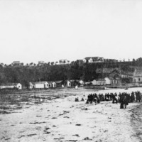
View of early Capitola, with group of people on the beach.
Date: 1880's
Type: PHOTO

