Browse Items(246 total)

  • Tags: Roads and Streets
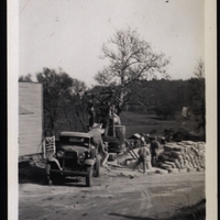
http://10.254.10.58:8080/files/tmp/SCPL-565.jpg
This concrete bridge over the San Lorenzo River on Graham Hill Road replaced the old Felton covered bridge in 1938. The new structure, designed by the office of Lloyd Bowman, is just over 220 feet long. WPA workers filled and graded the approaches…

Date: late 1930's
Source: Gift of Xenia Totten
Type: PHOTO

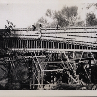
http://10.254.10.58:8080/files/tmp/SCPL-566.jpg
This concrete bridge over the San Lorenzo River on Graham Hill Road replaced the old Felton covered bridge in 1938. The new structure, designed by the office of Lloyd Bowman, is just over 220 feet long. WPA workers filled and graded the approaches…

Date: late 1930's
Source: Gift of Xenia Totten
Type: PHOTO

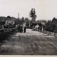
http://10.254.10.58:8080/files/tmp/SCPL-567.jpg
This concrete bridge over the San Lorenzo River on Graham Hill Road replaced the old Felton covered bridge in 1938. The new structure, designed by the office of Lloyd Bowman, is just over 220 feet long. WPA workers filled and graded the approaches…

Date: late 1930's
Source: Gift of Xenia Totten
Type: PHOTO

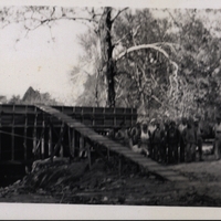
http://10.254.10.58:8080/files/tmp/SCPL-569.jpg
This concrete bridge over the San Lorenzo River on Graham Hill Road replaced the old Felton covered bridge in 1938. The new structure, designed by the office of Lloyd Bowman, is just over 220 feet long. WPA workers filled and graded the approaches…

Date: late 1930's
Source: Gift of Xenia Totten
Type: PHOTO

http://history.santacruzpl.org/omeka/uploads/scpl/scpl071.jpg
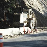
Bulldozer clearing damage from the 1989 earthquake on Highway 17.

Date: 1989
Type: PHOTO

http://history.santacruzpl.org/omeka/uploads/scpl/scpl073.jpg
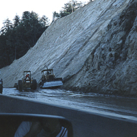
Bulldozers used in the cleanup and reconstruction effort after the 1989 Loma Prieta earthquake.

Date: 1989
Type: PHOTO

v2-095.jpg
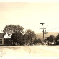
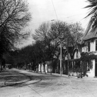
The main street through the business center of Felton, CA. Printed on the front of the card, "Business Center, Felton, Calif. K171X".

Date: Undated
Type: POSTCARD

Map 030 (1).jpg
SCPL's collection of maps is available in the Local History Room at the Downtown Branch.

Date: Circa 1974
Type: MAP

http://history.santacruzpl.org/omeka/uploads/0000/0034.jpg
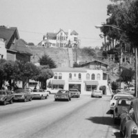
Capitola Avenue in Capitola

Date: ca. 1970's
Type: PHOTO

http://history.santacruzpl.org/omeka/uploads/0000/0068.jpg
Capitola Avenue with a Santa Cruz, Capitola and Watsonville Railway Company streetcar westbound far in the distance.

Date: 1900's
Type: PHOTO

Output Formats

atom, dcmes-xml, json, omeka-json, omeka-xml, rss2