Browse Items(293 total)
- Tags: Tourist Attractions
Sort by:
SCPL's collection of maps is available in the Local History Room at the Downtown Branch
Date: 2005
Type: MAP
SCPL's collection of maps is available in the Local History Room at the Downtown Branch
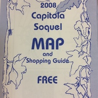
Date: 2008
Type: MAP
SCPL's collection of maps is available in the Local History Room at the Downtown Branch
Date: 2014
Type: MAP
SCPL's collection of maps is available in the Local History Room at the Downtown Branch
Date: 2015
Type: MAP
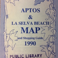
SCPL's collection of maps is available in the Local History Room at the Downtown Branch
Date: 1990
Type: MAP
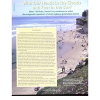
Date: 2016-Fall
Source: Santa Cruz Style, v5n3, p26-32
Type: ARTICLE
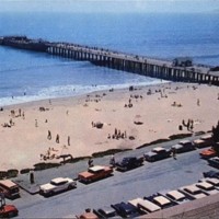
The Palo Alto, known as the Cement Ship, at the end of the wharf at Seacliff State Park, near Santa Cruz, CA. Parking lot and beach visitors in the foreground.
Date: Undated
Type: POSTCARD
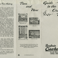
History and information about the Circus Trees at Bonfante Gardens
Date: 1985
Source: Scotts Valley Historical Society
Type: PAM


