Browse Items(246 total)
- Tags: Roads and Streets
Sort by:
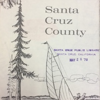
SCPL's collection of maps is available in the Local History Room at the Downtown Branch.
Date: Circa 1968
Type: MAP
SCPL's collection of maps is available in the Local History Room at the Downtown Branch
Date: Circa 1966
Type: MAP
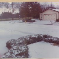
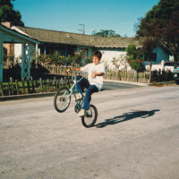
Later houses were built on English Drive and Oak Way where the meadow appears in the background of this photograph.
Date: 1976
Source: Cheng, Juliana
Type: PHOTO
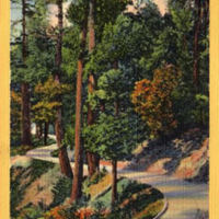
From Back: "Modern improved Highways wind their California way through thousands of acres of Redwoods similar to these in California."
Date: Undated
Type: POSTCARD
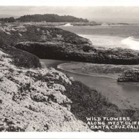
Printed on the front of the card, "WILDFLOWERS, ALONG WEST CLIFF DRIVE, SANTA CRUZ, CALIFORNIA."
Date: Undated
Type: POSTCARD
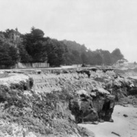
West Cliff Drive, looking east towards Lighthouse Point. The entrance gate to the lighthouse is in the background to the right. To the far right, above the trees, is the lighthouse light.
Date: ca. 1930s
Type: PHOTO
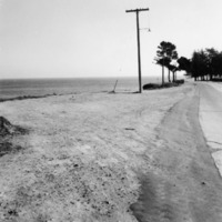
West Cliff Drive, looking toward Cypress Grove.
Date: Undated
Type: PHOTO
Beaches
Date: Undated
Source: Lawrence, Linda
Type: PHOTO

