Browse Items(246 total)
- Tags: Roads and Streets
Sort by:
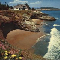
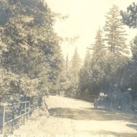
From Back: "A view from scenic West Cliff Drive along the ocean palisades. When in bloom the many varieties of Mesembryanthemums (ice plant) drape the cliffs with a colorful carpet."
Date: Undated
Type: POSTCARD
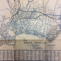
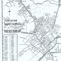
SCPL's collection of maps is available in the Local History Room at the Downtown Branch.
Date: Circa 1959
Type: MAP
SCPL's collection of maps available in the Local History Room at the Downtown Branch
Date: 1933
Type: MAP
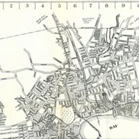
SCPL's collection of maps available in the Local History Room at the Downtown Branch
Date: 1939
Type: MAP
SCPL's collection of maps available in the Local History Room at the Downtown Branch
Date: 1949
Type: MAP
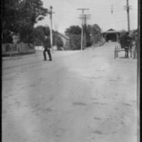
Street with horse and carriage and a covered bridge in the background
Date: circa 1906
Source: Bartholomew, Bart
Type: PHOTO
A street scene on Woodrow Avenue. Straight ahead is Garfield Park Tabernacle, which burned down on Aug. 5, 1935. The view is from the former location of the Vue de l'eau streetcar station, built by the Santa Cruz, Garfield Park and Capitola Electric…
Date: ca. 1927
Type: PHOTO

