Browse Items(246 total)

  • Tags: Roads and Streets
https://history-omeka-dev.santacruzpl.org/omeka/uploads/sv_all/CSTCRCL_157.JPG
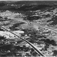
Aerial view of Scotts Valley looking northeast over Standard Lumber Mill in 1962; showing Scotts Valley Drive, on the left and Highway 17 on the right.

Date: 1962
Source: Scotts Valley Historical Society
Type: PHOTO

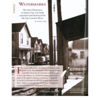
watermarks.pdf

Date: 2010-Spring
Source: Santa Cruz Magazine, v5n1, p 60-63.
Type: ARTICLE

HG-ps0002.PDF
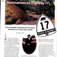
"From footpath to freeway, the evolution of Santa Cruz's link to the outside."

Date: 2017-Fall/Winter
Source: Santa Cruz Style, v6n3: 60-63
Type: ARTICLE

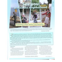
seeyou.pdf

Date: 2011-Winter
Source: Santa Cruz Magazine, v.6#4, p27-35
Type: ARTICLE

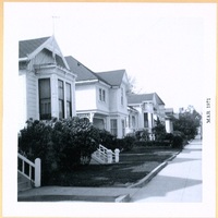
HG-ef-051p.jpg
Street views of Walnut Avenue, looking at the south side between Cedar Street and Chestnut Street

Date: 1971-03
Source: "Historic Santa Cruz Homes," scrapbook compiled by Edith Fikes
Type: PHOTO

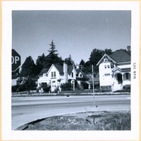
HG-ef-343p.jpg
Mission Street at the corner of King Street

Date: 1971-03
Source: "Historic Santa Cruz Homes," scrapbook compiled by Edith Fikes
Type: PHOTO

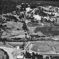
https://history-omeka-dev.santacruzpl.org/omeka/uploads/sv_all/CSTCRCL_119.JPG
An aerial view of the Scotts Valley area with Blueberry Lane and Mount Hermon Road and the Graham family peat sheds.

Date: 1967
Source: Scotts Valley Historical Society
Type: PHOTO

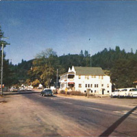
v2-097.jpg
The main street through Felton, CA, a town settled among the mountains in the San Lorenzo Valley.

Date: Undated
Type: POSTCARD

https://history-omeka-dev.santacruzpl.org/omeka/uploads/sv_all/CSTCRCL_200.JPG
The Glenwood area of Scotts Valley before a ballot measure regarding future development of the area.

Date: 2004
Source: Scotts Valley Historical Society
Type: PHOTO

Maddock Postcards 03.jpg

Date: Undated
Source: Elston, Deborah Maddock
Type: POSTCARD

Output Formats

atom, dcmes-xml, json, omeka-json, omeka-xml, rss2