Browse Items(246 total)

  • Tags: Roads and Streets
Map 044 (1).jpg
SCPL's collection of maps is available in the Local History Room at the Downtown Branch

Date: 2007
Type: MAP

Map 045 (1).jpg
SCPL's collection of maps is available in the Local History Room at the Downtown Branch

Date: 2007
Type: MAP

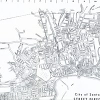
20160607_0014_1.jpg
SCPL's collection of maps available in the Local History Room at the Downtown Branch

Date: 1944
Type: MAP

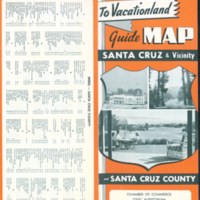
20160623_0049_1.jpg
SCPL's collection of maps available in the Local History Room at the Downtown Branch

Date: 1954
Type: MAP

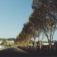
SS-chavezy-02.jpg
View from the end of Chestnut Street with a tree line and fence by Depot Park

Date: 1994
Source: Chavez, Yesenia
Type: PHOTO

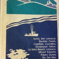
Map 037 (1).jpg
SCPL's collection of maps is available in the Local History Room at the Downtown Branch

Date: 1987
Type: MAP

Map 039 (1).jpg
SCPL's collection of maps is available in the Local History Room at the Downtown Branch.

Date: 1992
Type: MAP

Map 029 (1).jpg
SCPL's collection of maps is available in the Local History Room at the Downtown Branch

Date: Circa 1985
Type: MAP

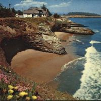
v1-024.jpg
From Back: "A view from scenic West Cliff Drive along the ocean palisades. When in bloom the many varieties of Mesembryanthemums (ice plant) drape the cliffs with a colorful carpet."

Date: Undated
Type: POSTCARD
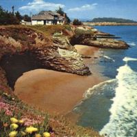
v1-116.jpg
View from West Cliff Drive in Santa Cruz, CA, showing Mesembryanthemums (ice plant) in bloom.

Date: Undated
Type: POSTCARD

Output Formats

atom, dcmes-xml, json, omeka-json, omeka-xml, rss2