Browse Items(116 total)

  • Tags: Panoramas and Aerial Views
http://history.santacruzpl.org/omeka/uploads/wd/WD-043.jpg
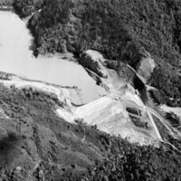
Aerial view of the Newell Creek Dam and the Loch Lomond Reservoir in the San Lorenzo Valley. When full, the reservoir holds approximately 8.700 acre feet (2.84 billion gallons) of water.

Date: circ. 1961
Type: PHOTO

http://history.santacruzpl.org/omeka/uploads/cov/cov-018.jpg
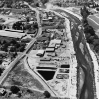
This aerial photograph of Salz Tannery was taken in the early 1950's possibly by Vester Dick Photography. River Street/Highway 9 is on the left and the San Lorenzo River is on the right.

Date: 1950's
Type: PHOTO

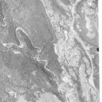
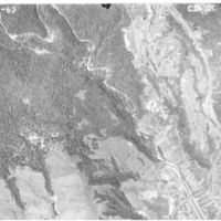
LH-scpl-472.jpg
Shows the San Lorenzo River as it enters the city of Santa Cruz, as well as the Graham Hill Showgrounds

Date: 06-20-1963
Type: PHOTO

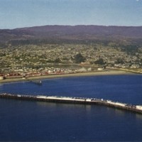
v1-072.jpg
From Back: "SANTA CRUZ, CALIFORNIA On the shores of Monterey Bay lies the thriving City of Santa Cruz. From the air can be seen much of the residential area. In the foreground are the wharf, casino and popular beach area."

Date: Undated
Type: POSTCARD

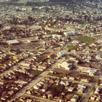
http://history.santacruzpl.org/omeka/uploads/0000/0544.jpg
Aerial view of Santa Cruz. The large white building in the center, slightly to the upper right, is Branciforte Elementary School. The street running left to right, through the middle, is Soquel Avenue.

Date: 1973
Type: PHOTO

https://history-omeka-dev.santacruzpl.org/omeka/uploads/sv_all/CSTCRCL_157.JPG
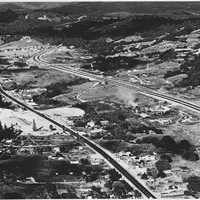
Aerial view of Scotts Valley looking northeast over Standard Lumber Mill in 1962; showing Scotts Valley Drive, on the left and Highway 17 on the right.

Date: 1962
Source: Scotts Valley Historical Society
Type: PHOTO

http://history.santacruzpl.org/omeka/uploads/wd/WD-005.jpg
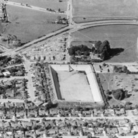
Aerial view of the Bay Street Reservoir, part of the City of Santa Cruz's water system. It has been drained and cleaned in preparation for being roofed.

Date: 1974
Type: PHOTO

https://history-omeka-dev.santacruzpl.org/omeka/uploads/sv_all/CSTCRCL_127.JPG
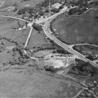
Aerial view during construction in 1947; shows Camp Evers Junction, Gordon's Chuck House, Hendricks house and shed, and Dettling barn and dairy

Date: 1947
Source: Scotts Valley Historical Society
Type: PHOTO
https://history-omeka-dev.santacruzpl.org/omeka/uploads/sv_all/CSTCRCL_125.JPG
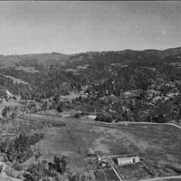
Aerial view of Jack and Lola Graham house; Mt. Hermon Road; Skypark Airport under construction; site of former Locke Mansion, later Holmes and Hannigan Saw Mill.

Date: 1946
Source: Scotts Valley Historical Society
Type: PHOTO
Output Formats

atom, dcmes-xml, json, omeka-json, omeka-xml, rss2