Browse Items(116 total)

  • Tags: Panoramas and Aerial Views
PC-v4-117.jpg
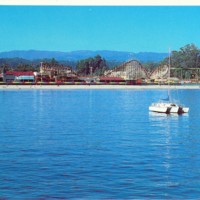
View of the Boardwalk and the Santa Cruz Mountains from Monterey Bay

Date: Undated
Type: POSTCARD

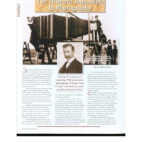
lawrence.pdf

Date: 2011-Spring
Source: Santa Cruz Magazine, v6n1, p60-63
Type: ARTICLE

http://history.santacruzpl.org/omeka/uploads/wd/WD-043.jpg
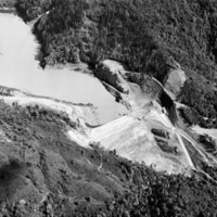
Aerial view of the Newell Creek Dam and the Loch Lomond Reservoir in the San Lorenzo Valley. When full, the reservoir holds approximately 8.700 acre feet (2.84 billion gallons) of water.

Date: circ. 1961
Type: PHOTO

http://history.santacruzpl.org/omeka/uploads/wd/WD-005.jpg
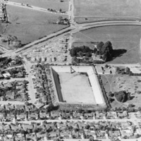
Aerial view of the Bay Street Reservoir, part of the City of Santa Cruz's water system. It has been drained and cleaned in preparation for being roofed.

Date: 1974
Type: PHOTO

http://history.santacruzpl.org/omeka/uploads/scm/SCM080.jpg
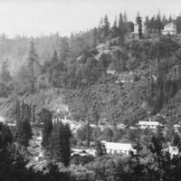
View over the California Powder Works. The homes on the hill above the Powder Works, belonged to Colonel Bernard Peyton, the superintendent, and his son, William C. Peyton; at Powder Mill Flats.

Date: ca. 1890's
Type: PHOTO

LH-scpl-491.jpg
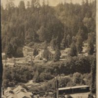
The foundry, charcoal burner, and village for the workers at the California Powder Works. The Powder Works employed 150 to 275 workers. From 1864 to 1914, it was the main industry in Santa Cruz; at Powder Mill Flats

Date: 1905
Source: Donated by Brian and Ollie Hoefer.
There is also a version of this photo at the Santa Cruz Museum of Natural History.

Type: PHOTO

http://history.santacruzpl.org/omeka/uploads/scm/SCM037.jpg
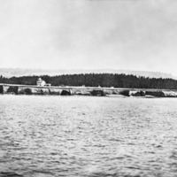
The Santa Cruz lighthouse as seen from the ocean.

Date: Early 1880's
Type: PHOTO

http://history.santacruzpl.org/omeka/uploads/scm/SCM019.jpg
View of Capitola. In the distance to the right is the Capitola Hotel. A little below it, to the right, is a building with a sign identifying it as a "Bath House."

Date: ca. 1910--1915
Type: PHOTO

http://history.santacruzpl.org/omeka/uploads/scm/SCM011.jpg
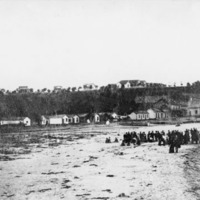
View of early Capitola, with group of people on the beach.

Date: 1880's
Type: PHOTO

http://history.santacruzpl.org/omeka/uploads/salz_sccfu/salz-029.jpg
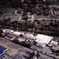
Jeremy Lezin took this aerial photograph of the Salz Tannery sometime in the 1980's. River Street/Highway 9 and the Tannery are in the foreground and the growth of trees marks the path of the San Lorenzo River.

Date: 1980's
Type: PHOTO

Output Formats

atom, dcmes-xml, json, omeka-json, omeka-xml, rss2