Browse Items(116 total)

  • Tags: Panoramas and Aerial Views
https://history-omeka-dev.santacruzpl.org/omeka/uploads/sv_all/CSTCRCL_075.JPG
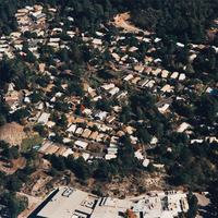
Aerial view of Montevalle Mobile Home Park, on Bean Creek Road.

Date: 11/10/1996
Source: Scotts Valley Historical Society
Type: PHOTO

https://history-omeka-dev.santacruzpl.org/omeka/uploads/sv_all/CSTCRCL_127.JPG
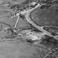
Aerial view during construction in 1947; shows Camp Evers Junction, Gordon's Chuck House, Hendricks house and shed, and Dettling barn and dairy

Date: 1947
Source: Scotts Valley Historical Society
Type: PHOTO

https://www-dev.santacruzpl.org/media/LocalHistoryUpload/LH-scpl-530.jpg

Date: 1987
Source: Friends of the Santa Cruz Public Libraries
Type: PHOTO

AR-221.pdf
Comments on the photograph by Peter Nurkse

Date: Undated
Type: ARTICLE

LH-scpl-488.jpg
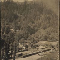
Date on photo: 1905

Date: 1905
Source: Donated by Brian and Ollie Hoefer.
Type: PHOTO

LH-scpl-487.jpg
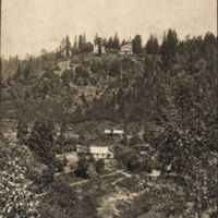
Date on back of photo: 1905

Date: 1905
Source: Donated by Brian and Ollie Hoefer.
Type: PHOTO

LH-scpl-475.jpg
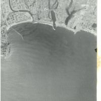
Shows the San Lorenzo river mouth, the harbor, and the coastline from Lighthouse Point to Live Oak

Date: 06-26-1963
Type: PHOTO

LH-scpl-474.jpg
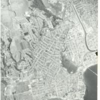
Shows primarily the west side of Santa Cruz

Date: 06-20-1963
Type: PHOTO
LH-scpl-473.jpg
Shows the area around the Boardwalk, including Beach Flats and the San Lorenzo River

Date: 1954 or 1955
Type: PHOTO

LH-scpl-472.jpg
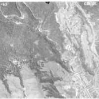
Shows the San Lorenzo River as it enters the city of Santa Cruz, as well as the Graham Hill Showgrounds

Date: 06-20-1963
Type: PHOTO

Output Formats

atom, dcmes-xml, json, omeka-json, omeka-xml, rss2