Browse Items(51 total)

  • Tags: Maps
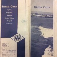
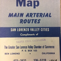
Map 027.jpg
SCPL's collection of maps is available in the Local History Room at the Downtown Branch

Date: Unknown
Type: MAP

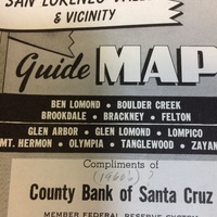
Map 026 (1).jpg
SCPL's collection of maps is available in the Local History
Room at the Downtown Branch

Date: Circa 1960
Type: MAP

Map 025 (1).jpg
SCPL's collection of maps is available in the Local History Room at the Downtown Branch

Date: Circa 1960
Type: MAP

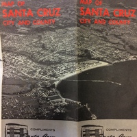
Map 024 (1).jpg
SCPL's collection of maps is available in the Local History Room at the Downtown Branch

Date: Circa 1961
Type: MAP

IMG_1688.JPG
SCPL's collection of maps is available in the Local History Room at the Downtown Branch

Date: Circa 1969
Type: MAP

Map 022 (1).JPG
SCPL's collection of maps is available in the Local History Room at the Downtown Branch

Date: Circa 1960
Type: MAP

Map 21.jpg
SCPL's collection of maps is available in the Local History Room at the Downtown Branch.

Date: Circa 1959
Type: MAP

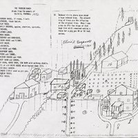
https://history-omeka-dev.santacruzpl.org/omeka/uploads/sv_all/CSTCRCL_003.JPG
Hand drawn map of the Thompson Ranch drawn from the memory of Elvis E. Frapwell.

Date: 1992
Source: Scotts Valley Historical Society
Type: MAP

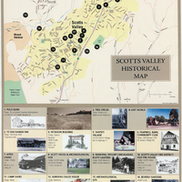
https://history-omeka-dev.santacruzpl.org/omeka/uploads/sv_all/CSTCRCL_088.JPG
A map of historical buildings and areas in Scotts Valley, Calif.

Date: 2000
Source: Scotts Valley Historical Society
Type: MAP

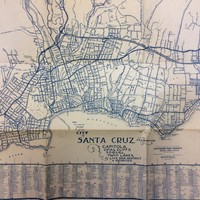
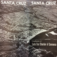
SC Map (1).JPG
SCPL's collection of Maps is available in the Local History Room at the Downtown Branch

Date: Circa 1957
Type: MAP

Output Formats

atom, dcmes-xml, json, omeka-json, omeka-xml, rss2