Browse Items(246 total)

  • Tags: Roads and Streets
20160608_0016_1.jpg
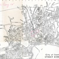
SCPL's collection of maps available in the Local History Room at the Downtown Branch

Date: 1945
Type: MAP

http://history.santacruzpl.org/omeka/uploads/scpl/scpl069.jpg
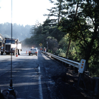
Crews of workmen arrive in large trucks to clean up on Highway 17 after the 1989 earthquake.

Date: 1989
Type: PHOTO

v1-087b.jpg
Printed on the front of the card, "357 - CLIFF DRIVE, SANTA CRUZ, CALIFORNIA."

Date: Undated
Type: POSTCARD

v1-088.jpg
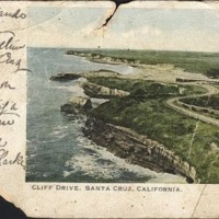
Printed on the front of the card, "CLIFF DRIVE, SANTA CRUZ, CALIFORNIA."

Date: Postmark Date: May 20th, 1903
Type: POSTCARD

heu-059.jpg
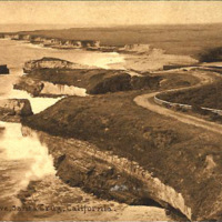
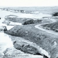
A view of the Cliff Drive alongside the coast in Santa Cruz, CA. Printed on the front of the card, "795 Cliff Drive, Santa Cruz, California."

Date: Undated
Source: Sally Coen Heumann; donated by Jules Heumann
Type: POSTCARD

PC-v4-106a.jpg
Cliff Drive

Date: Undated
Type: POSTCARD

http://history.santacruzpl.org/omeka/uploads/rs/rs020.jpg
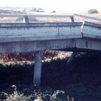
Closeup of the collapsed portion of Highway 1, south of Green Valley Road exit, near Watsonville. The damage was a result of the 1989 earthquake.

Date: 1989-10-17
Type: PHOTO

http://history.santacruzpl.org/omeka/uploads/0000/0402.jpg
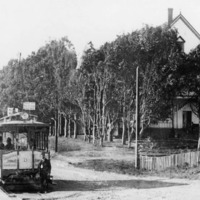
A conductor in front of Santa Cruz Electric Railway's open bench streetcar #6 at Vue de l'eau, on Garfield (now Woodrow) Avenue. The casino, built in 1894, is on the right. The Christian Church tabernacle is visible in the far left background.

Date: ca. 1894
Type: PHOTO

https://mediawiki-dev.santacruzpl.org/mediawiki/lit/SantaCruzMemories_1016.jpg
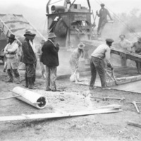
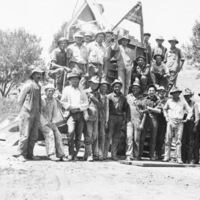
The crew was working on Highway 129. Ed Wasgatt is the foreman.

Date: 1925
Source: Photo courtesy of the Wilson Family.
Type: PHOTO

https://mediawiki-dev.santacruzpl.org/mediawiki/lit/SantaCruzMemories_1017.jpg
The crew was working on Highway 129. Ed Wasgatt is the foreman.

Date: 1925
Source: Photo courtesy of the Wilson Family.
Type: PHOTO
Output Formats

atom, dcmes-xml, json, omeka-json, omeka-xml, rss2