Browse Items(246 total)

  • Tags: Roads and Streets
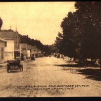
Maddock Postcards 23.jpg

Date: Undated
Source: Elston, Deborah Maddock
Type: POSTCARD

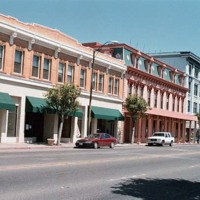
69458-14.JPG
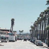
Landmark Photo Project

Date: 2001
Source: Santa Cruz Public Libraries
Type: PHOTO

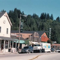
84112-08.jpg
Landmark Photo Project

Date: 2001
Source: Santa Cruz Public Libraries
Type: PHOTO

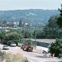
http://scplweb2-dev.santacruzpl.org/files/local_history_temp/69604-02.jpg
Landmark Photo Project

Date: May-01
Source: Santa Cruz Public Libraries
Type: PHOTO

http://scplweb2-dev.santacruzpl.org/files/local_history_temp/84114-08.jpg
Landmark Photo Project

Date: Jun-01
Source: Santa Cruz Public Libraries
Type: PHOTO

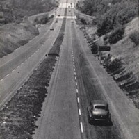
v1-150.jpg
A view of the Santa Cruz - Watsonville Freeway, California.

Date: Undated
Type: POSTCARD

Map 030 (1).jpg
SCPL's collection of maps is available in the Local History Room at the Downtown Branch.

Date: Circa 1974
Type: MAP

https://fishbox.santacruzpl.org/media/pdf/local_history_articles/AR-211.pdf

Date: 10/20/2000
Source: Fully Developed Context Statement for the City of Santa Cruz. Prepared for City of Santa Cruz Planning and Development Department. Prepared by Susan Lehmann, October 20, 2000. Chapter 3, Context I: Economic Development of the City of Santa Cruz 1850-1950
Type: ARTICLE

https://fishbox.santacruzpl.org/media/pdf/local_history_articles/AR-093.pdf
Photographs and Post Cards from the Santa Cruz Public Libraries' Collection

Date: Undated
Type: ARTICLE

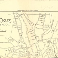
SC Map.jpg
SCPL's collection of maps available in the Local History Room at the Downtown Branch

Date: 1905
Type: MAP

Output Formats

atom, dcmes-xml, json, omeka-json, omeka-xml, rss2