Browse Items(171 total)

  • Subject is exactly "Santa Cruz (City)"

Date: 1896-12-15
Source: Santa Cruz Daily Surf 1896-12-15: page 1 column 3
Type: NEWS

Date: 1885-07-24
Source: Santa Cruz Daily Surf 1885-07-24: page 2 column 1
Type: NEWS

Date: 1883-06-23
Source: Santa Cruz Daily Surf 1883-06-23: page 2 column 2
Type: NEWS

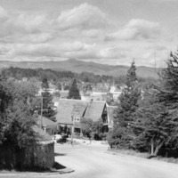
http://history.santacruzpl.org/omeka/uploads/0000/0049.jpg
A view from Santa Cruz High School. In the background is Loma Prieta peak, the highest peak in the Santa Cruz Mountains.

Date: Undated
Type: PHOTO

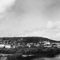
http://history.santacruzpl.org/omeka/uploads/0000/0036.jpg
A view of downtown Santa Cruz from the San Lorenzo River. Foreground spires visible: Presbyterian Church, Mission High School, Holy Cross convent. Foreground left is the railroad track to beach.

Date: Undated
Type: PHOTO

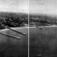
http://history.santacruzpl.org/omeka/uploads/misc/loc001.jpg
This aerial photograph of Santa Cruz was taken in 1906 by George Lawrence. His 50 lb. custom aerial camera was lifted approximately 800 feet by a string of 17 cargo kites.

Date: June, 1906
Type: PHOTO

LH-scpl-474.jpg
Shows primarily the west side of Santa Cruz

Date: 06-20-1963
Type: PHOTO

LH-scpl-475.jpg
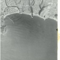
Shows the San Lorenzo river mouth, the harbor, and the coastline from Lighthouse Point to Live Oak

Date: 06-26-1963
Type: PHOTO

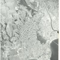
http://history.santacruzpl.org/omeka/uploads/0000/0497.jpg
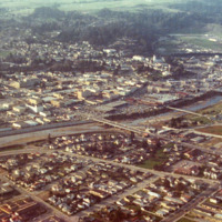
Aerial view of downtown Santa Cruz, the San Lorenzo River and surrounding area. The Soquel Avenue bridge is in the middle of the photo

Date: 1973
Type: PHOTO

LH-scpl-472.jpg
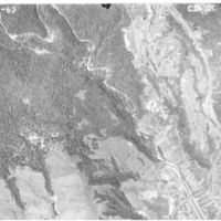
Shows the San Lorenzo River as it enters the city of Santa Cruz, as well as the Graham Hill Showgrounds

Date: 06-20-1963
Type: PHOTO

Output Formats

atom, dcmes-xml, json, omeka-json, omeka-xml, rss2