Browse Items(316 total)

  • Subject is exactly "San Lorenzo River"
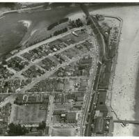
LH-scpl-469.jpg
Includes San Lorenzo River mouth and the Boardwalk

Date: 1954 or 1955
Type: PHOTO

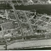
LH-scpl-473.jpg
Shows the area around the Boardwalk, including Beach Flats and the San Lorenzo River

Date: 1954 or 1955
Type: PHOTO

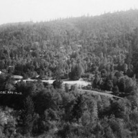
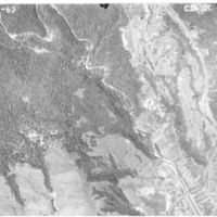
http://history.santacruzpl.org/omeka/uploads/0000/0489.jpg
Aerial view of Brookdale, the surrounding forest and the San Lorenzo River. Two bridges over the river, one for the railroad, are visible on the far right.

Date: 1911-05-14
Type: PHOTO

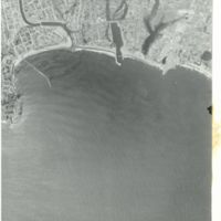
LH-scpl-475.jpg
Shows the San Lorenzo river mouth, the harbor, and the coastline from Lighthouse Point to Live Oak

Date: 06-26-1963
Type: PHOTO

http://history.santacruzpl.org/omeka/uploads/0000/0497.jpg
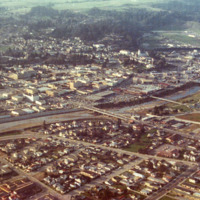
Aerial view of downtown Santa Cruz, the San Lorenzo River and surrounding area. The Soquel Avenue bridge is in the middle of the photo

Date: 1973
Type: PHOTO

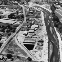
http://history.santacruzpl.org/omeka/uploads/cov/cov-018.jpg
This aerial photograph of Salz Tannery was taken in the early 1950's possibly by Vester Dick Photography. River Street/Highway 9 is on the left and the San Lorenzo River is on the right.

Date: 1950's
Type: PHOTO

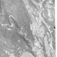
LH-scpl-472.jpg
Shows the San Lorenzo River as it enters the city of Santa Cruz, as well as the Graham Hill Showgrounds

Date: 06-20-1963
Type: PHOTO

http://history.santacruzpl.org/omeka/uploads/0000/0153.jpg
Along the San Lorenzo River, the stage and seats are prepared for the 1912 Water Pageant. $15,000 was expected to be spent on preparations. The amphitheater was capable of seating 4000 spectators. It was built on 'Pageant Island' in the middle of theā€¦

Date: July 1912
Type: PHOTO

San Lorenzo River

Date: 1987-02-05
Source: Watsonville Register-Pajaronian
Type: NEWS

Output Formats

atom, dcmes-xml, json, omeka-json, omeka-xml, rss2